PIN 670306 Local time Sunday 5:47 AM Area code 0498 ISO 3166 code ISO 3166-2:IN | Time zone IST (UTC+5:30) Telephone code 0498 Population 9,794 (2001) | |
 | ||
Weather 26°C, Wind NE at 3 km/h, 91% Humidity | ||
Vellora is a village in Kannur district in the Indian state of Kerala .With state road connectivity, schools, hospitals post office and bank, dating back to 1950's
Contents
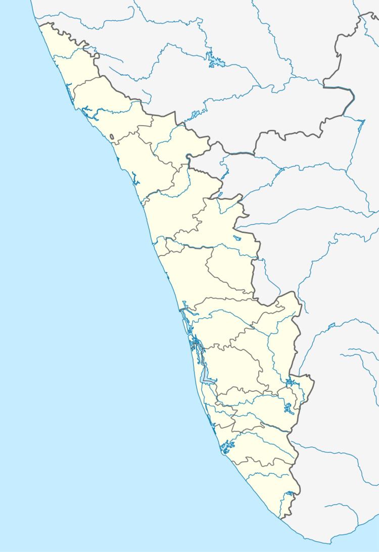
Map of Vellora, Kerala 670306
.
Places of interest
Vellora is a very old village, with many picturesque places around. Dotted on the westernghats, like vellinkeel, bekal fort, fort st. angelo, pathampara, madai thattu, ezhimala naval academy, ettikulam beach, pazhassi dam, paithalmala a hill station with pleasant climate even during harsh summer. Vellora is strategically located between Taliparamba and Payyanur, equally distanced by 26 km either way. Coorg border to east and Arabian Sea to the west, 17 km either side.
Transportation
The national highway passes through Perumba junction. Goa and Mumbai can be accessed on the northern side and Cochin and Thiruvananthapuram can be accessed on the southern side. The road to the east of Iritty connects to Mysore and Bangalore. The nearest railway station is Payyanur on Mangalore-Palakkad line. Trains are available to almost all parts of India subject to advance booking over the internet. There are airports at Kannur, Mangalore and Calicut. All of them are international airports but direct flights are available only to Middle Eastern countries.
