PIN 671533 | Time zone IST (UTC+5:25) | |
 | ||
Vellarikundu is a village and taluk headquarters in Kasaragod district of Kerala province, India.
Contents
- Map of Vellarikkundu Kerala 671533
- Vellarikundu Taluk
- Constitutent Villages in Vellarikundu Taluk
- Health
- References
Map of Vellarikkundu, Kerala 671533
Vellarikundu Taluk
Vellarikundu Taluk was announed in the Kerala budget of 2013. On 21 February 2014, the new taluk was inaugurated by the Sri Umman Chandy chief minister of the state. The taluk was created by splitting the Hosdurg taluk.
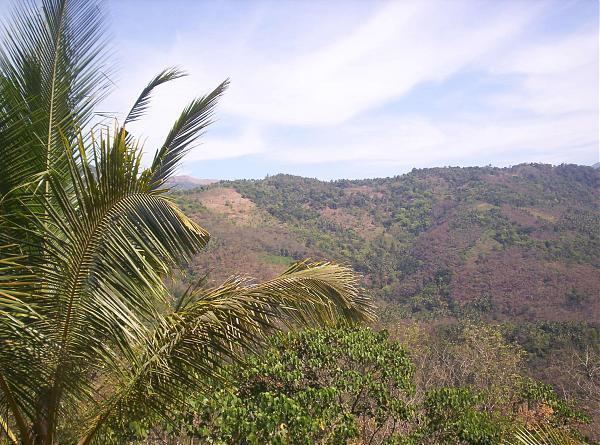
The idea of forming Vellarikundu taluk was mooted in 1984. The taluk consist the south-east hilly regions of the district. vellarikundu taluk shares its border with kasaragod taluk to north,hosdurg taluk to west,taliparamba taluk of kannur district to south and madikeri taluk of coorg distrit in karnataka state to the east.
Constitutent Villages in Vellarikundu Taluk
- Malom(maloth)
- Balal
- Chittarikkal
- Bheemanadi
- Parappa
- Karindalam
- Kodom-Belur
- Kallar
- Panathady
- palavayal
Health
Vellarikkundu is one of the areas with large number of HIV patients. 970 HIV cases were registered in Kasaragod district. Ten HIV deaths were reported from Kasaragod district within a short period of two months in 2016. There is no special facility or docotors for HIV patients in this area. HIV affected areas in Kasaragod include Dharmathadka, Nileshwaram, Manjeshwar, Bhandiyod, Vellarikundu, Kasaragod town and Padannakkad.
