
Country India District Coimbatore PIN 641111 Population 17,294 (2001) | State Tamil Nadu Time zone IST (UTC+5:30) Telephone code 0422 241 Local time Sunday 5:34 AM | |
 | ||
Weather 25°C, Wind S at 8 km/h, 84% Humidity Neighborhoods Edayar Palayam, Shakthi Nagar | ||
Vellalore (sometimes referred to as Vellalur) is a panchayat town in Coimbatore district in the Indian state of Tamil Nadu. It is at 13 km east of the heart of the city Coimbatore, situated on the southern bank of the River Noyyal. Vellalore is a western suburb of Coimbatore.
Contents
- Map of Vellalore Tamil Nadu
- Demographics
- Attractions
- Part of Roman Spice Trade
- Political status
- Hospital facilities
- Vellalore Garbage Yard
- References
Map of Vellalore, Tamil Nadu
Demographics
As of 2001 India census, Vellalore had a population of 17,294. Males constitute 50% of the population and females 50%. Vellalore has an average literacy rate of 64%, which is higher than the national average of 59.5%; male literacy is 70%, and female literacy is 59%. In Vellalore, 8% of the population is under 6 years of age.
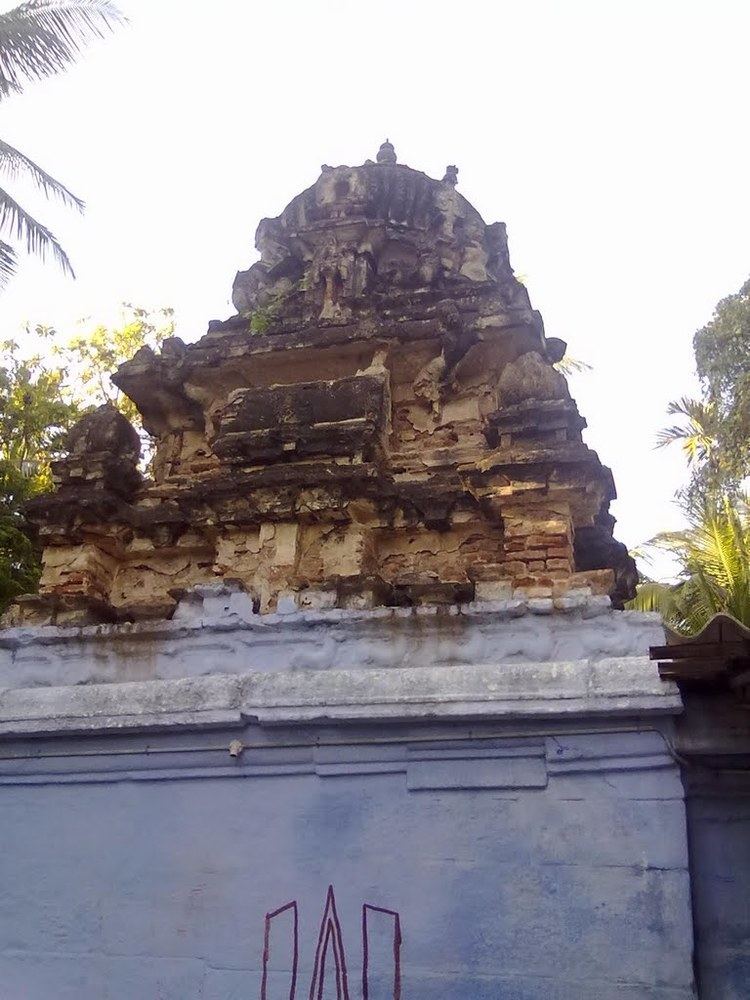
Attractions
Part of Roman Spice Trade
A part of the Roman spice route, about 80% of Roman coins excavated in Tamil Nadu were in Vellalore, says R. Jagadeesan, office representative of Kongu Kalai Kalanchiyam. It had agriculture-based settlement and was known as "Velleer Oor." Roman trade happened here even before the 1st century AD.
Political status
Hospital facilities
Vellalore Garbage Yard
Since years, the entire solid as well as sewage waste of Coimbatore city is being dumped in the Vellalore Yard. It was reported that thousands of tons of garbage is getting disposed every day within the Corporation limits of Coimbatore and all these reaches straight to Vellalore. Thus around 5 lakh M.T. of waste has been accumulated in the yard over the years. Due to practical difficulties on segregating the wastes and composting thereof, all those were forming bigger and bigger garbage mountains on this vast land.