
 | ||
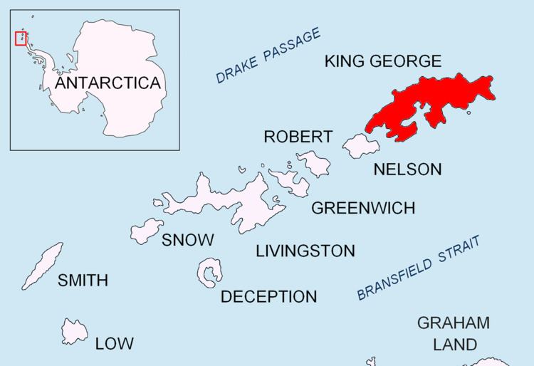
Vauréal Peak (62°11′S 58°18′W) is a rocky peak at the east side of the entrance to Admiralty Bay, King George Island, in the South Shetland Islands. The name Cap Vauréal was assigned in this location by the French Antarctic Expedition under J.B. Charcot in 1908-10. Air photos now show that the most prominent feature in the vicinity is this peak.
Contents
Map of Vaureal Peak, Antarctica
Maps
References
Vauréal Peak Wikipedia(Text) CC BY-SA