
Type Highway | Length 151 km | |
 | ||
Major cities Pemberton, Busselton, Nannup | ||
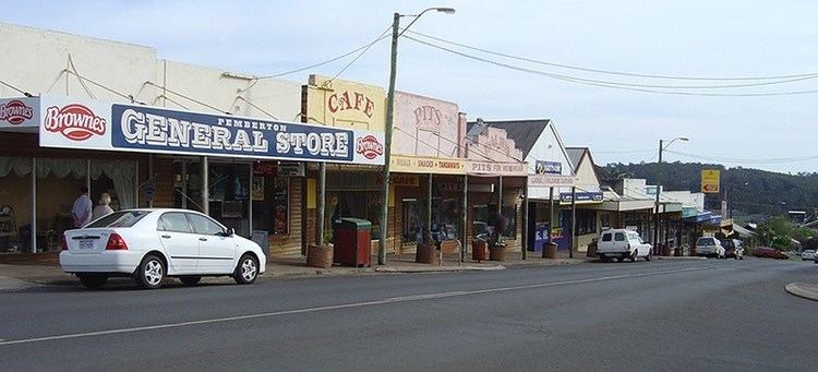
Vasse Highway is a Western Australian highway connecting Busselton and the South Western Highway 15 km south of Manjimup. It is 151 kilometres (94 mi) long and travels through jarrah and karri hardwood forests for most of its length, with some small agricultural areas and wineries nearby, and forms the main street of the towns of Nannup (as Warren Road) and Pemberton (as Brockman Street).
Contents
Map of Vasse Hwy, Western Australia, Australia
From Busselton, it starts as State Route 104 from the Bussell Highway 3 km east of Busselton, near the Sir Stuart Bovell sporting complex, and travels the 56 km to Nannup, where it intersects with the Brockman Highway and becomes State Route 10. It then passes Donnelly River and Karri Valley Resort, and 22 km west of Pemberton turnoffs provide entrances to the Beedelup National Park.
About 4 km before Pemberton, the highway ends at a T junction. A left turn continues unsigned as Vasse Highway into the town of Pemberton, then for another 19 km until ending at South Western Highway near Diamond Tree 15 km south of Manjimup. A right turn continues southwards as State Route 10 to Northcliffe, allowing access to the Warren National Park. Route 10 then heads east along Middleton Road, meeting with the South Western Highway near the Shannon mill.