
Type Highway Constructed 1894 | Opened 1894 Length 150 km | |
 | ||
Major settlements | ||
Bussell Highway is a generally north-south highway in the South West of Western Australia. The highway links the city of Bunbury with the town of Augusta and is approximately 140 kilometres (87 mi) in length. The highway is signed State Route 10, except in Busselton where the construction of the Busselton Bypass in 2001 resulted in this stretch being changed to Alternate State Route 10 with the Bypass signed State Route 10.
Contents
Map of Bussell Hwy, Western Australia, Australia
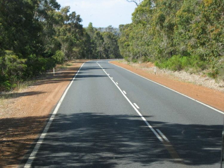
The highway is sealed dual carriageway from Bunbury to Capel and in the town of Busselton; and is single carriageway from Capel to Busselton and from Vasse to Augusta with regular overtaking lanes.
History
Bussell Highway was named after the Bussell family, some of the region's first settlers. It was built in 1894 by M.C. Davies, a timber miller operating from Karridale to provide better access to Vasse and beyond, linking to the existing road to Bunbury. The tender had been let to Davies by the State government under John Forrest.
Main Roads has asked the local government Shire of Capal to clear land along the final stretch for the proposed dual carriageway between Capal to Busselton.
Route description
Departing Bunbury, the highway commences at the intersection of Blair Street and Parade Road outside the Bunbury Racecourse in Carey Park. After about 500m, it intersects at a large roundabout with Bunbury's ring road, Robertson Drive, connecting the highway to several major routes: Australind Bypass and Old Coast Road lead to Perth via Mandurah; South Western Highway north-eastbound to Harvey, and to Collie via Coalfields Highway; and South Western Highway south-westbound to Donnybrook.
It exits Bunbury as a sealed dual carriageway, bypassing the town of Capel before becoming a single carriageway to Busselton. At a large roundabout, it intersects with the Busselton Bypass and changes name to Causeway Road, then turns left into Albert Street in Busselton's CBD. After one block it reverts to Bussell Highway, proceeding for 9 km as a dual carriageway through Busselton's western suburbs before turning left at Abbey.
The road then proceeds as a single carriageway with regular overtaking lanes to Augusta through small dairy and crop farms, orchards and wineries - the only slow point on this entire journey is when it becomes the main street of the popular tourist and seachange town of Margaret River.
The highway ends at the entrance to Augusta, but the road continues as Blackwood Avenue through the town and the nas Leeuwin Road for 9 km before reaching Cape Leeuwin, the southwestern tip of Western Australia.