
Country India District Nellore Elevation 112 m | State Andhra Pradesh Time zone IST (UTC+5:30) Local time Saturday 6:15 PM | |
 | ||
Weather 37°C, Wind E at 16 km/h, 35% Humidity Similar Duttalur, Kavali, Periyavaram | ||
Varikuntapadu or Variguntapadu is a village and a Mandal in Nellore district in the state of Andhra Pradesh in India. Varikuntapadu is a small town on the state road from Pamuru(Prakasam district) to Nellore. It is one of the mandals of SPSR Nellore dist. It has a government high school with a hostel for boys. It do not have much development but is a good place as it is nearer to the pilgrim centre Narravada. The temperatures are moderate to high.The transportation is by APSRTC buses and local autos.
Contents
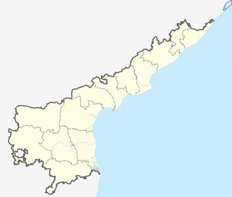
Map of Varikuntapadu, Andhra Pradesh 524227
Geography
KrishnamRajupalli is located at 14.9833°N 79.4167°E / 14.9833; 79.4167. It has an average elevation of 112 meters (370 feet).KrishnamRajuPalli is the one of the village in varikuntapadu mandal.It is developed.It has healthy conditions to live.It is 10 kilometers far from Pamur(Prakasam Dist.).Sri KodandaRamaswamy Temple have in KrishnamRajupalli . 90% have literacy , Krishnamraju palli (south) foundation stone laid by Krishnamraju Vulise end of the17th century most of the people well settled in across world(USA,UK,Australia,Singapure,german, etc....) It is situated 120 kilometres from Nellore. The main occupation of the villagers is farming.it is the almost border village of SPSR Nellore district.
www.varikuntapadu.com www.krishnamrajupalli.com www.southkrishnamrajupalli.com www.srikodanadaramaswamytemple.com www.kodanadaramaswamy.com