
 | ||
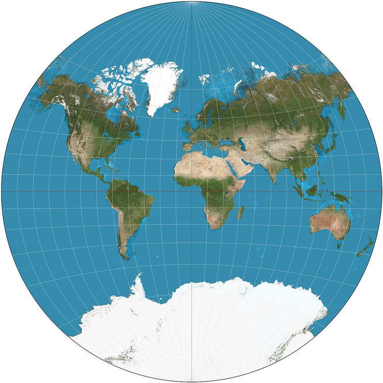
The van der Grinten projection is a compromise map projection, which means that it is neither equal-area nor conformal. Unlike perspective projections, the van der Grinten projection is an arbitrary geometric construction on the plane. Van der Grinten projects the entire Earth into a circle. It largely preserves the familiar shapes of the Mercator projection while modestly reducing Mercator's distortion. Polar regions are subject to extreme distortion.
Contents
History
Alphons J. van der Grinten invented the projection in 1898 and received US patent #751,226 for it and three others in 1904. The National Geographic Society adopted the projection for their reference maps of the world in 1922, raising its visibility and stimulating its adoption elsewhere. In 1988, National Geographic replaced the van der Grinten projection with the Robinson projection.
Geometric construction
The geometric construction given by van der Grinten can be written algebraically:
where x takes the sign of λ − λ0, y takes the sign of φ and
Where φ = 0,
Similarly, if λ = λ0 or φ = ±π/2, then
In all cases, φ is the latitude, λ is the longitude, and λ0 is the central meridian of the projection.