
Length 14 mi (23 km) Season All | Trail difficulty Easy | |
 | ||
Trailheads South Haven, MichiganHartford, Michigan Management Michigan Department of Natural Resources Uses Equestrianism, Hiking, Snowmobile, Cross-country skiing | ||
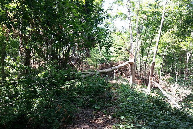
Van buren trail state park hartford mi 01aug10
Van Buren Trail State Park, also known as Trail State Park, is an unimproved rail trail running along a former railroad right-of-way between Hartford, Michigan to just south of South Haven, Michigan in Van Buren County. It is 14 miles (23 km) long and mostly used by horse trail riders in the summer and snowmobilers in the winter. Terrain is flat with farmland and trees.
Contents
- Van buren trail state park hartford mi 01aug10
- Map of Van Buren Trail State Park Michigan USA
- References
Map of Van Buren Trail State Park, Michigan, USA
In 2004, Van Buren County took over operation of the state-owned trail after state budget problems. There is a trail pass system to pay for maintenance.
Its northern terminus is near Van Buren State Park on Lake Michigan. The Kal-Haven Trail starts in South Haven a few miles north. The trail pass is valid for both trails.
References
Van Buren Trail State Park Wikipedia(Text) CC BY-SA