
Long-axis length around 50 km (31 mi) | ||
 | ||
Floor elevation 630–3,031 m (2,067–9,944 ft) Type glacial and karts valley | ||
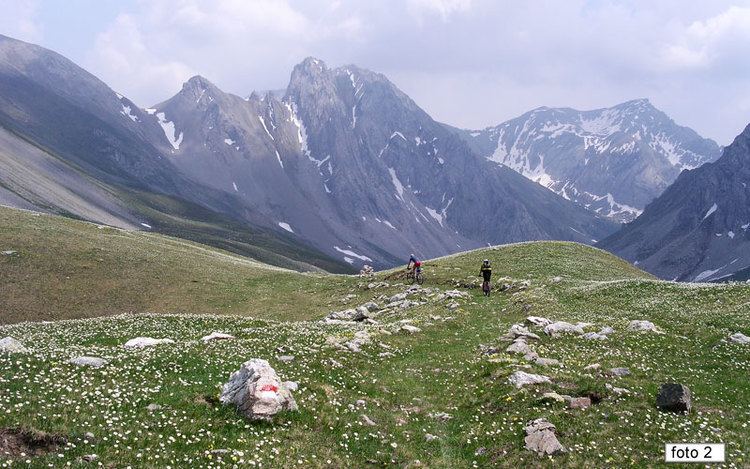
Valle stura di demonte colle valcavera sentiero dei fiori
The Stura di Demonte Valley (in Italian Valle Stura di Demonte) is a valley in south-west of Piedmont in the Province of Cuneo, Italy.
Contents
- Valle stura di demonte colle valcavera sentiero dei fiori
- Transumanza in valle stura di demonte
- Etymology
- Geography
- Notable summits
- Access
- References
Transumanza in valle stura di demonte
Etymology
The valley takes its name from the river Stura di Demonte, a left-hand tributary of the Tanaro which flows through the valley.
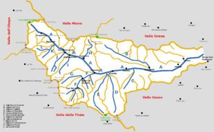
Geography
The municipalities of the valley are Aisone, Argentera, Borgo San Dalmazzo, Demonte, Gaiola, Moiola, Pietraporzio, Rittana, Roccasparvera, Sambuco, Valloriate and Vinadio.
Notable summits
Among the notable summits which surround the valley there are:
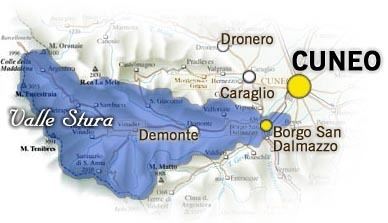
Access
The valley can be reached by car/bus from the Po Plain following the strada statale nr. 21 della Maddalena, which ends with the Colle della Maddalena and connects the Valle Stura di Demonte with the Ubaye Valley (France).
References
Valle Stura di Demonte Wikipedia(Text) CC BY-SA