
Location Odda, Hordaland Surface area 6.78 km (2.62 sq mi) Surface elevation 745 m Shore length 24.32 km | References NVE Area 6.78 km² | |
 | ||
Max. length 9.5 kilometres (5.9 mi) Max. width 1.5 kilometres (0.93 mi) Reference Norwegian Water Resources and Energy Directorate | ||
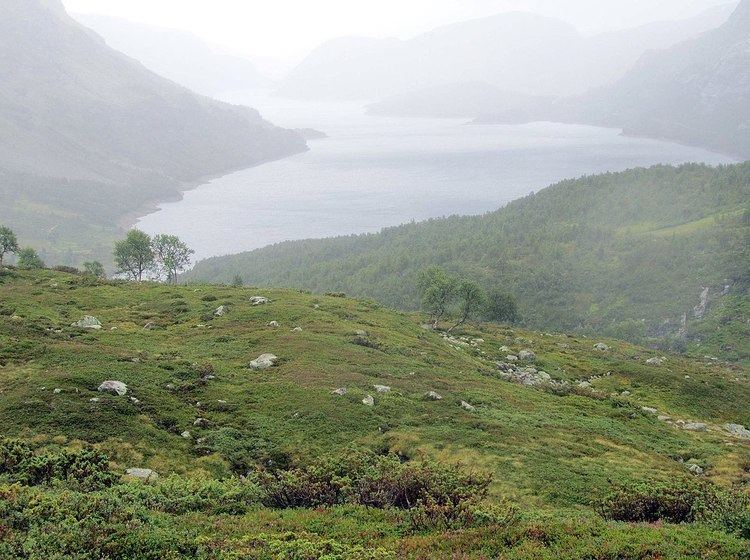
Valldalsvatnet is a lake in the municipality of Odda in Hordaland county, Norway. The 6.78-square-kilometre (2.62 sq mi) lake lies about 6 kilometres (3.7 mi) northeast of the village of Røldal. The lake has a dam at the southern end, and it is used to regulate the water level for purposes of hydroelectric power generation. The lake was originally about 2.5 kilometres (1.6 mi) long and surrounded by a lot of dairy farms. Since the 80-metre (260 ft) tall dam was built, the lake grew to about 10 kilometres (6.2 mi) long. This lake and the neighboring lakes of Votna and Røldalsvatnet are all regulated together as part of the Røldal-Suldal watershed which feeds a nearby hydroelectric power station.
Map of Valldalsvatnet, 5760 R%C3%B8ldal, Norway
References
Valldalsvatnet Wikipedia(Text) CC BY-SA