
Postcode(s) 3860 Local time Tuesday 2:53 PM | Postal code 3860 | |
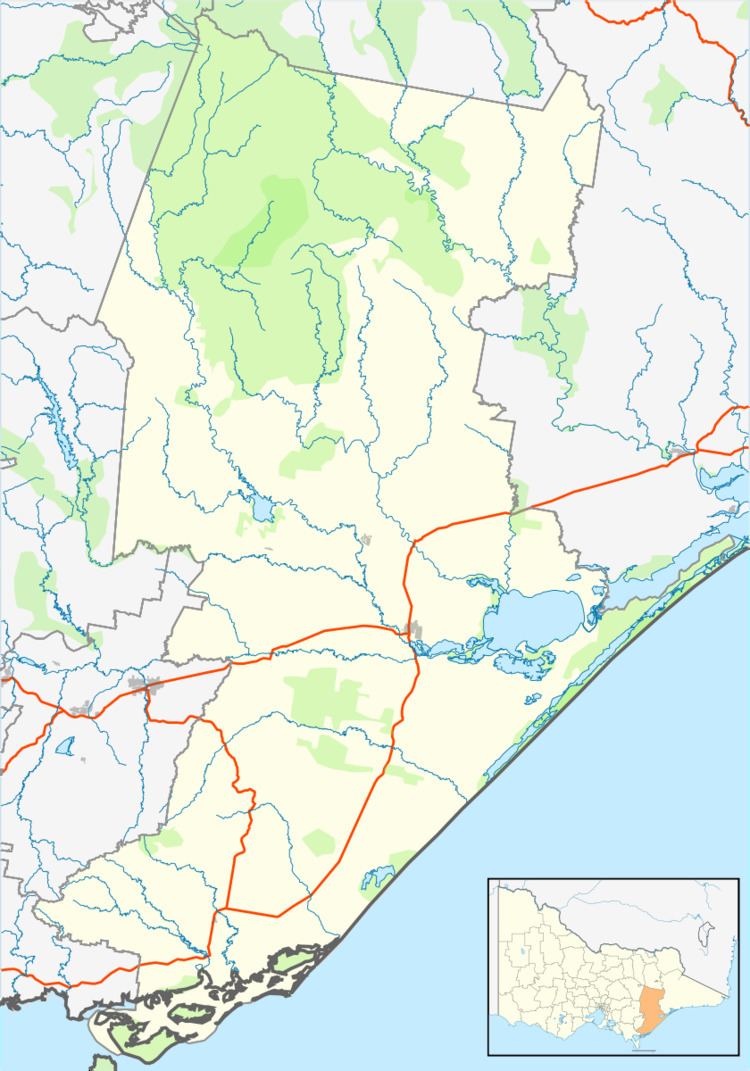 | ||
Location 243 km (151 mi) E of Melbourne47 km (29 mi) N of Sale27 km (17 mi) N of Maffra14 km (9 mi) NE of Briagolong Weather 22°C, Wind SE at 10 km/h, 48% Humidity | ||
Valencia Creek is a rural town in East Gippsland, Victoria, Australia on the Boisdale - Valencia Creek Road, north of Maffra in the Shire of Wellington. The junction of Valencia Creek and the Avon River are a short distance upstream. The foothills of the Great Dividing Range start immediately north of Valencia Creek, while dairy farms lie to the south along the Avon River flats to Boisdale.
Map of Valencia Creek VIC 3860, Australia
Valencia Creek Post Office opened on 23 July 1895, closed next year, reopened in 1900 and closed again in 1974.
The town centre comprises a fire station, hall and church (no longer doing services), and the former Post office. The local school was consolidated with a number of other surrounding schools to form Boisdale Consolidated School #6207.
References
Valencia Creek, Victoria Wikipedia(Text) CC BY-SA