
Intercommunality Deux Rives Area 13.44 km² Population (2012)2 5,155 | Region Occitanie Time zone CET (UTC+1) Local time Tuesday 6:48 AM INSEE/Postal code 82186 /82400 | |
 | ||
Weather 9°C, Wind W at 6 km/h, 88% Humidity | ||
Valence, also known as Valence-d'Agen, is a commune in the Tarn-et-Garonne department in the Occitanie region in southern France.
Contents
Map of 82400 Valence, France
Geography
Valence is located 25 km (16 mi) from Agen, 45 km (28 mi) from Montauban, 60 km (37 mi) from Cahors, 90 km from Toulouse and 160 km (99 mi) from Bordeaux.
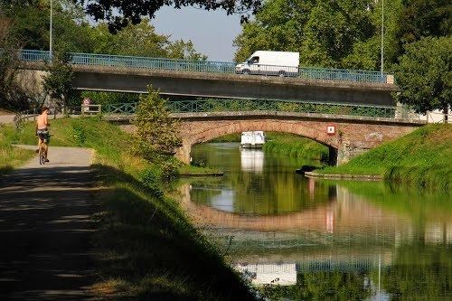
The departmental road D813 passes through the town. Until 2008 the road, which runs between Toulouse and Bordeaux, was classified as a National Road N113. Exit 8 of autoroute A62, a road which also runs between Bordeaux and Toulouse, lies a few kilometres from the town. A further connection is provided by the voie verte, a path open to walkers and cyclists which runs between the canal that runs past the edge of the town.
The train station on the northern edge of the town, on the D813, lies on the Bordeaux-Toulouse line.
The Barguelonne flows westward through the northern part of the commune and forms part of its north-eastern and north-western borders.
Twinned Cities
La Vall d'Uixó, a Spanish town of about 35,000 located in the Province of Castellón, has been twin city to Valence since September 1990. The Spanish twin to Valence, France lies about 45 km due north of Valencia, Spain and forms part of the Spanish autonomous region known as the Valencian Community.