
Country United States FIPS code 24-80075 Elevation 619 m Population 139 (2010) | Time zone Eastern (EST) (UTC-5) GNIS feature ID 2583699 Area 250 ha Local time Monday 9:31 PM | |
 | ||
Weather 14°C, Wind SE at 14 km/h, 82% Humidity | ||
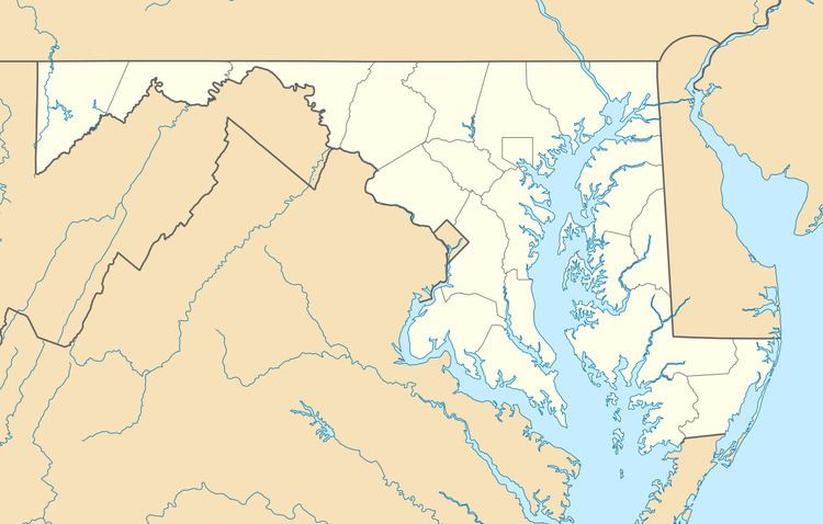
Vale Summit is an unincorporated community and census-designated place (CDP) in Allegany County, Maryland, United States. As of the 2010 census it had a population of 139.
Map of Vale Summit, MD 21532, USA
Local lore indicates that the community was so named in the mid 19th century, founded by the local population of coal miners. Previously, however, it was locally known as "Pompey Smash", the origin of which is commonly believed to have come from a slave named Pompey crashing his wagonload of coal. A main road through the village still bears the name "Pompey Smash Road". A paved road reached the town around 1921, from Clarysville, along Route 40.
References
Vale Summit, Maryland Wikipedia(Text) CC BY-SA