Country United States FIPS code 24-17475 Elevation 457 m Local time Monday 11:29 AM | Time zone Eastern (EST) (UTC-5) GNIS feature ID 2583599 Area 30 ha Population 73 (2010) | |
 | ||
Weather 8°C, Wind W at 2 km/h, 54% Humidity | ||
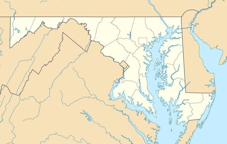
Clarysville is an unincorporated community and census-designated place (CDP) in Allegany County, Maryland, United States. As of the 2010 census it had a population of 73.
Map of Clarysville, MD 21532, USA
It is located along U.S. Route 40 Alternate at its intersection with Maryland Route 55. Frostburg is 2 miles (3 km) to the west, and Cumberland is 7 miles (11 km) to the east along Route 40 Alt.
Clarysville was known around the region for the Clarysville Inn, a historic building which stood from 1807 until it burned in 1999. During the American Civil War, the inn served as a military hospital, treating wounded soldiers.
The exit of the Hoffman drainage tunnel, constructed to drain several coal mines, is near Clarysville.
References
Clarysville, Maryland Wikipedia(Text) CC BY-SA
