
PIN 521126 Area 7.74 km² Population 3,012 (2011) | Time zone IST (UTC+5:30) Telephone code 08671 Local time Tuesday 4:57 AM Area code 08671 | |
 | ||
Weather 28°C, Wind S at 10 km/h, 90% Humidity | ||
Vakkalagadda is a village in Krishna district of the Indian state of Andhra Pradesh. It is located in Challapalli mandal of Machilipatnam revenue division. It is one of the villages in the mandal to be a part of Andhra Pradesh Capital Region. The village was awarded a Nirmal Gram award (cleanliness award) in 2008.
Contents
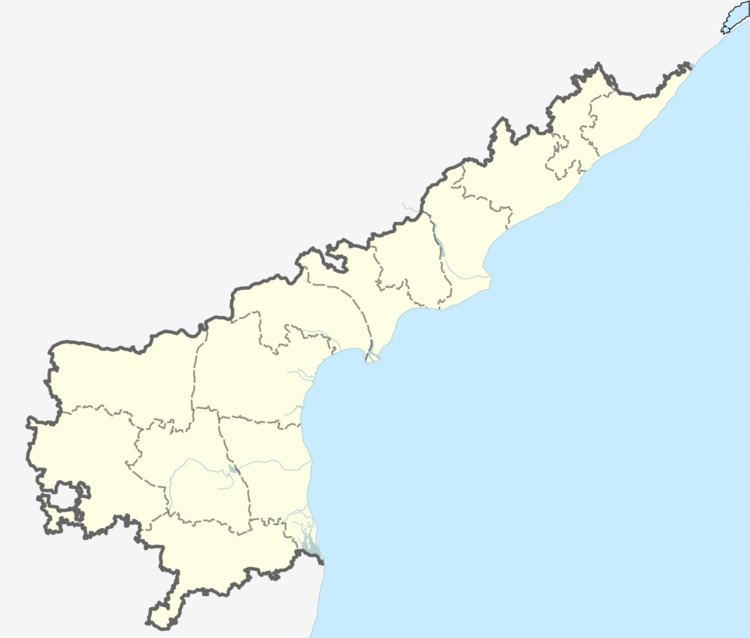
Map of Vakkalagadda, Andhra Pradesh 521126
It has a population of around 3200 with a literacy rate of 58.96%. It also has 4 schools, Panchayat Bhavan and a Society building.
The village is mainly dependent on farming.This Village was under CPI rule for many years..
Later with the influence of Nandamuri Taraka Ramarao, Telugu Desam Party made its origin under the leadership of Mallupeddi Ratnagiri Rao.
Telugu Desam Party stood as a stiff contender for the existing leaders and in no time it secured the govt.
The village was awarded a Nirmal Gram award (cleanliness award) in 2008.
Education
There are a 4 schools in vakkalagadda all are government schools,they are -