
Time zone CET/CEST (UTC+1/+2) Population 40,086 (31 Dec 2008) | Elevation 255 m (837 ft) Postal codes 66301–66333 Local time Wednesday 5:24 PM | |
 | ||
Weather 18°C, Wind NW at 13 km/h, 35% Humidity Points of interest Völklingen Ironworks, Spielplatz, Wildgehege | ||
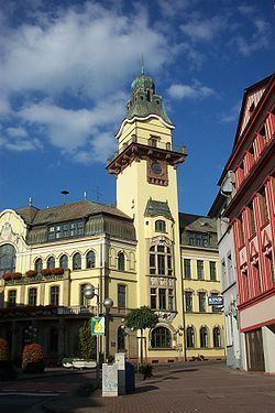
Völklingen is a town in the district of Saarbrücken, in Saarland, Germany. It is situated on the river Saar, approx. 10 km west of Saarbrücken.
Contents
- Map of 66333 VC3B6lklingen Germany
- History
- Franconian Colonization
- First Documented Mention
- Peasant Settlement
- Peasant Uprising
- Districts
- People born in Vlklingen
- References
Map of 66333 V%C3%B6lklingen, Germany
The town is known for its industrial past, the Völklinger Hütte (ironworks) being declared by UNESCO as a World Heritage Site.
History
Völklingen is situated on the fertile alluvial plane at the confluence of the river Rossel and of the river Köller into the river Saar. In antiquity it was settled by Celtic tribes, then by the Romans.
Franconian Colonization
The Franks colonized the area between the 5th and 9th centuries.
First Documented Mention
Völkingen was initially referred to as "Fulcolingas" by Durandis, Vice Chancellor to Louis the Pious in 822.
Peasant Settlement
Peasants living in the area were subject to taxation by the Count of Saarbrücken.
Peasant Uprising
The peasants of Völkingen revolted against the Count of Saarbrücken in 1566, when he ordered the construction of the Homburger castle.
Districts
The city is divided into ten districts: