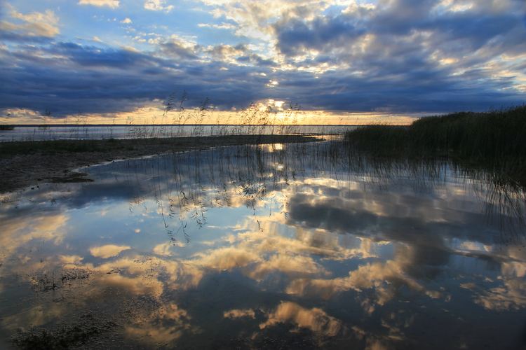
Surface area 270 km (100 sq mi) Max. depth 6 m (20 ft) Area 270 km² Catchment area 3,100 km² Shore length1 96 km (60 mi) | Average depth 2.7 m (8 ft 10 in) Surface elevation 34 m Mean depth 2.7 m Volume 0.8 km³ | |
 | ||
Primary inflows | ||
Axis 4 in estonia the attractiveness of a lake flag lake v rtsj rv
Lake Võrtsjärv (German: Wirzsee) is a lake in southern Estonia with an area of 270 km² (104 mi²).
Contents
- Axis 4 in estonia the attractiveness of a lake flag lake v rtsj rv
- Map of VC3B5rtsjC3A4rv Estonia
- References
Map of V%C3%B5rtsj%C3%A4rv, Estonia
It is the second largest lake of Estonia behind Lake Peipus. The shallow lake is 33.7 m (111 ft) above sea level. The river Emajõgi flows from Lake Võrtsjärv to Lake Peipus.
References
Võrtsjärv Wikipedia(Text) CC BY-SA
