
Length 211 km Country France | Basin size 3,708 km (1,432 sq mi) Discharge 50 m³/s | |
 | ||
Main source Plateau de Millevaches; 970 m (3,180 ft) Similar Lascaux, Roque Saint‑Christophe, Font‑de‑Gaume, Chateau de Losse, Château de Marqueyssac | ||
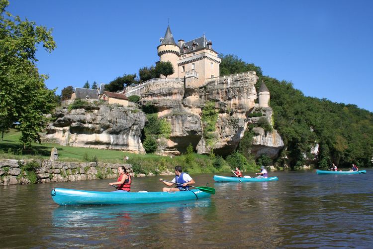
The Vézère (Occitan: Vesera) is a 211 km long river in southwestern France. It is an important tributary to the Dordogne River. Its source is in the northwestern part of the elevated plateau known as the Massif Central. It flows southwest through the following départements and cities:
Map of V%C3%A9z%C3%A8re, France
It flows into the Dordogne near Le Bugue. A tributary of the Vézère is the Corrèze River.
The Vézère Valley is famed for its prehistoric cave systems, containing numerous cave paintings and hominid remains. UNESCO collectively designated these a World Heritage Site in 1979. Among the sites with remarkable caves is Lascaux.
References
Vézère Wikipedia(Text) CC BY-SA