
Administrative center town of Uyar Selsoviets 9 Area 2,197 km² | District towns 1 Cities/towns 1 Founded 4 April 1924 | |
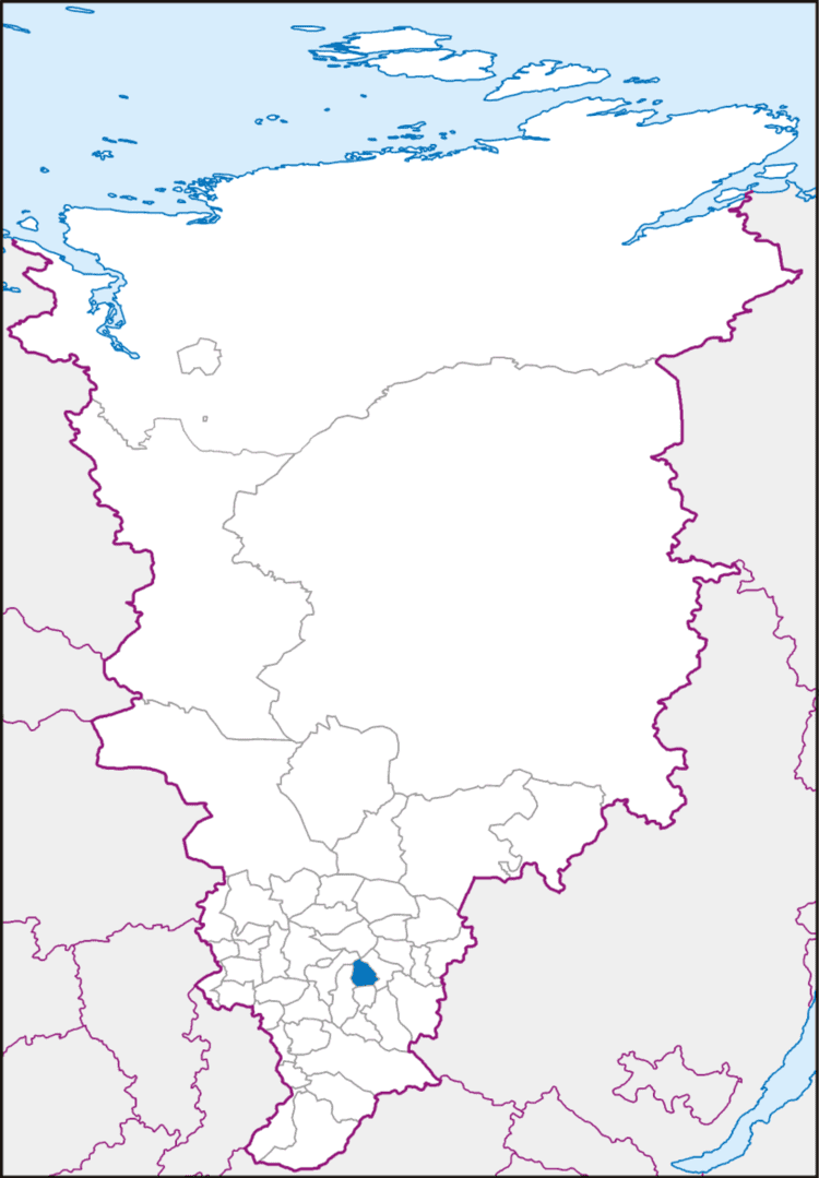 | ||
Uyarsky District (Russian: Уя́рский райо́н) is an administrative and municipal district (raion), one of the forty-three in Krasnoyarsk Krai, Russia. It is located in the south of the krai and borders with Sukhobuzimsky District in the north, Rybinsky District in the east, Partizansky District in the south, Mansky District in the west, and with Beryozovsky District in the northwest. The area of the district is 2,196 square kilometers (848 sq mi). Its administrative center is the town of Uyar. Population: 21,932 (2010 Census); 24,559 (2002 Census); 29,241 (1989 Census). The population of Uyar accounts for 57.7% of the district's total population.
Contents
Map of Uyarsky District, Krasnoyarsk Krai, Russia
History
The district was founded on April 4, 1924.
Divisions and government
As of 2013, he acting Head of the district is Natalya A. Soboleva and the Chairman of the District Council is Vladimir N. Solomatov.