
Urban-type settlements 2 Area 3,526 km² | District towns 1 Selsoviets 14 Founded 4 April 1924 | |
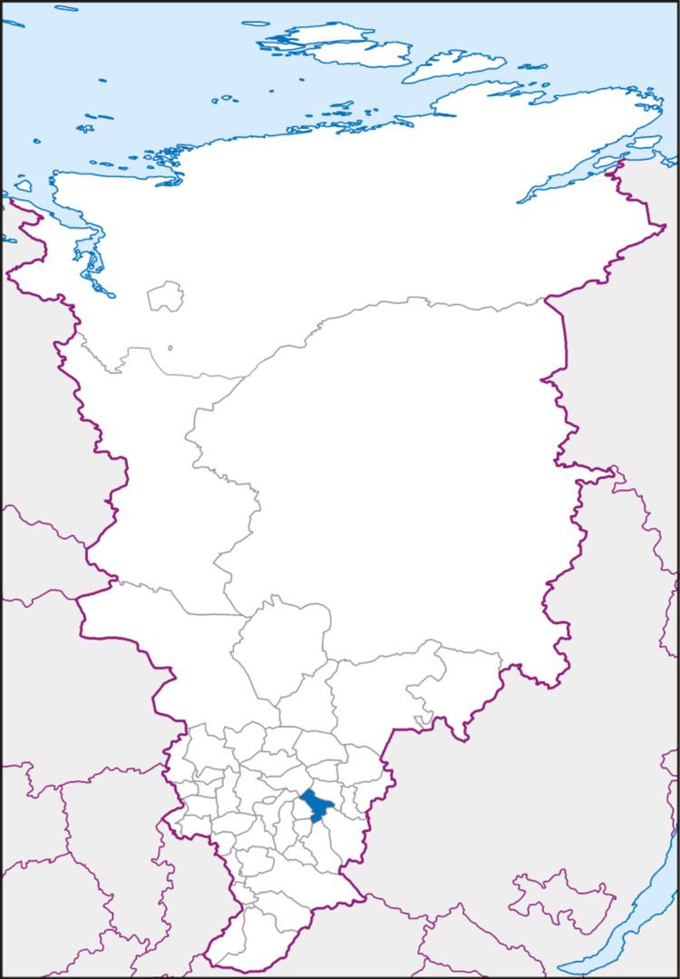 | ||
Rybinsky District (Russian: Ры́бинский райо́н) is an administrative and municipal district (raion), one of the forty-three in Krasnoyarsk Krai, Russia. It is located in the southeast of the krai and borders with Kansky District in the northeast, Irbeysky District in the southeast, Sayansky District in the south, Partizansky District in the southwest, Uyarsky District in the west, and with Sukhobuzimsky District in the northwest. The area of the district is 3,506 square kilometers (1,354 sq mi). Its administrative center is the town of Zaozyorny. Population: 31,954 (2010 Census); 21,186 (2002 Census); 23,294 (1989 Census). The population of Zaozyorny accounts for 33.4% of the district's total population.
Contents
Map of Rybinsky District, Krasnoyarsk Krai, Russia
Geography
The Kan River flows through the district.
History
The district was founded on April 4, 1924.
Government
As of 2013, the Head of the district and the Chairman of the District Council is Sergey M. Kolesov.