
 | ||
Ushi Cliffs (Bulgarian: скат Уши, ‘Skat Ushi’ \'skat u-'shi) are the precipitous rocky cliffs extending 2.7 km in northwest-southeast direction and 600 m wide, rising to 1500 m on Oscar II Coast in Graham Land. They are situated in the south foothills of Roundel Dome, surmounting upper Flask Glacier to the south. Named after the settlement of Ushi in Western Bulgaria.
Contents
Location
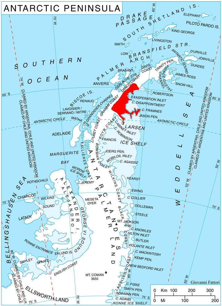
Ushi Cliffs are located at 65°39′50″S 63°16′25″W, which is 18.6 km south-southwest of Madrid Dome, 8.15 km northwest of Peychinov Crag, and 20 km east-southeast of Mount Rouge on Graham Coast. British mapping in 1976.
Maps
References
Ushi Cliffs Wikipedia(Text) CC BY-SA