
Admin. region Oberpfalz Elevation 537 m (1,762 ft) Area 72.91 km² Population 3,728 (31 Dec 2008) Dialling code 09628 | Time zone CET/CEST (UTC+1/+2) Local time Monday 4:13 AM Postal code 92289 Administrative region Upper Palatinate | |
 | ||
Weather 8°C, Wind NW at 3 km/h, 86% Humidity | ||
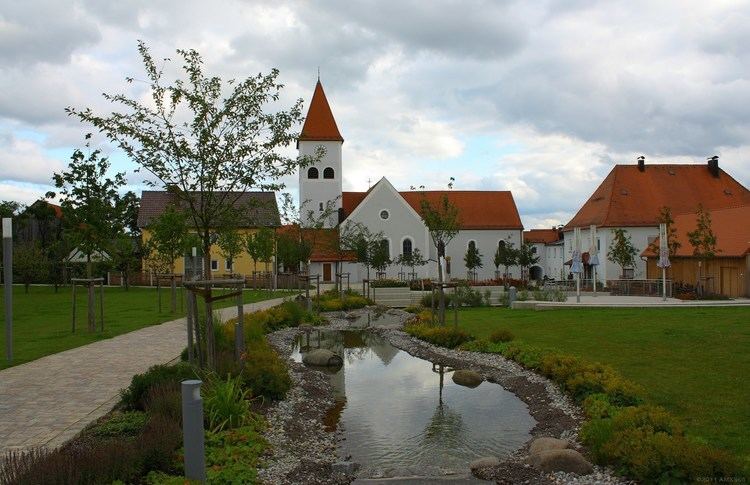
Ursensollen is a municipality in the district of Amberg-Sulzbach in Bavaria in Germany.
Contents
Map of Ursensollen, Germany
Geography
Ursensollen is in the region Upper Palatinate-North about 10 km to the west of Amberg.
The following districts belong to this town: Allmannsfeld, Bittenbrunn, Egelhofen, Eigentshofen, Ehringsfeld, Erlheim, Garsdorf, Götzendorf, Gunzelsdorf, Guttenberg, Haag, Hausen, Häuslöd, Heimhof, Heinzhof, Hohenkemnath, Inselsberg, Kemnatheröd, Kotzheim, Littenschwang, Oberhof, Oberleinsiedl, Ödallerzhof, Reinbrunn, Reusch, Richt, Richtheim, Rückertshof, Salleröd, Sauheim, Stockau, Thonhausen, Ullersberg, Unterleinsiedl, Ursensollen, Wappersdorf, Weiherzant, Winkl, Wollenzhofen, Zant.
Population
The districts of the town had a population of 2,678 in 1970, 3,518 in 2000, and 3,745 in 2009.