
Administrative center of Uray Urban Okrug Local time Monday 2:32 AM | Urban okrug Uray Urban Okrug Area 54.3 km² Number of airports 1 | |
 | ||
Federal subject Khanty–Mansi Autonomous Okrug Administratively subordinated to town of okrug significance of Uray Administrative center of town of okrug significance of Uray Weather -3°C, Wind SW at 18 km/h, 75% Humidity | ||
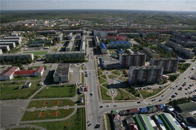
Uray (Russian: Ура́й) is a town in Khanty–Mansi Autonomous Okrug, located on the Konda River 350 kilometers (220 mi) from Khanty-Mansiysk. Population: 39,457 (2010 Census); 38,872 (2002 Census); 37,198 (1989 Census).
Contents
- Map of Uray Khanty Mansi Autonomous Okrug Russia
- History
- Administrative and municipal status
- Economy
- Transportation
- References
Map of Uray, Khanty-Mansi Autonomous Okrug, Russia
History
It was founded as a settlement for oil field workers. It was granted town status in 1965.
Administrative and municipal status
Within the framework of administrative divisions, it is incorporated as the town of okrug significance of Uray—an administrative unit with the status equal to that of the districts. As a municipal division, the town of okrug significance of Uray is incorporated as Uray Urban Okrug.
Economy
Uray is the organizational center of the oil-extracting region. In 1960, the first oil field in Siberia—the Shaimskoye field—opened here). Uray is the starting point of the Shaim–Tyumen oilpipe line. TPP Uraуneftegaz OOO "LUKoil- Zapadnaya Sibir" oil reprocessor plant is located in Uray.
Other Uray's industries include food industry and housebuilding.
Transportation
The town is served by the Uray Airport.