Country Language spoken | State District | |
Uravakonda is a census town in Anantapur district in the Indian state of Andhra Pradesh.
Contents
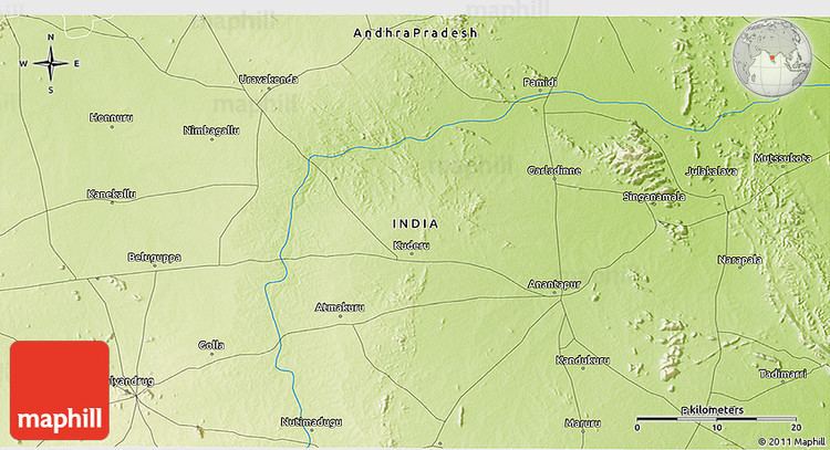
- Map of Uravakonda
- Features
- Demographics
- Uravakonda mla visweswara reddy fast for handriniva project
- Tdp leader payyavula kesav ready to rewrite the history in uravakonda
- Geography
- References
Map of Uravakonda
Features
Uravakonda is a beautiful place with the entire town built around the hill at its center. This covers nearly 100 villages. It is famous for weaving industry specially silk handloom or silk weaving industry. It is a politically active place. Sri Karibasava Swamy High school (SKGH School) is one of the big schools within Uravakondas vicinity. The historical place Pennahobilam is at a distance of 10 kilometres from Uravakonda. Another tourist attraction is the 13th Century Lord Surya (Sun) Temple located in village Budagavi which is at a distance of 3 kilometres from the town on Bellary Road. This is 2nd Surya Temple in Andhra pradesh after Arasavelli, 3rd in South India and 8th India. This is the only temple in the World where Lord Surya faces South. This has been recognized and renovated recently.
Uravakonda was once known as Uragadhri. Uragadhri means a snake shaped hill. Famous spiritual leader Satya Sai Baba had studied in this town. Uravakonda has one government I T I started in 2008
Demographics
As of 2001 India census, Uravakonda had a population of 41,865. Males constitute 51% of the population and females 49%. Uravakonda has an average literacy rate of 61%, higher than the national average of 59.5%: male literacy is 71%, and female literacy is 50%. In Uravakonda, 12% of the population is under 6 years of age. Nearest town is Guntakal.
Uravakonda is well connected to district headquarters Anantapur (52km) and to other closeby towns Bellary (Karnataka, 55km), Guntakal by road.
Uravakonda mla visweswara reddy fast for handriniva project
Tdp leader payyavula kesav ready to rewrite the history in uravakonda
Geography

Uravakonda is located at 14.95°N 77.27°E? / 14.95; 77.27. It has an average elevation of 459 metres (1505 feet).
