
 | ||
Similar Upper Tampa Bay Park, Cypress Point Park, Courtney Campbell Causeway, Lake Rogers Park, Al Lopez Field | ||
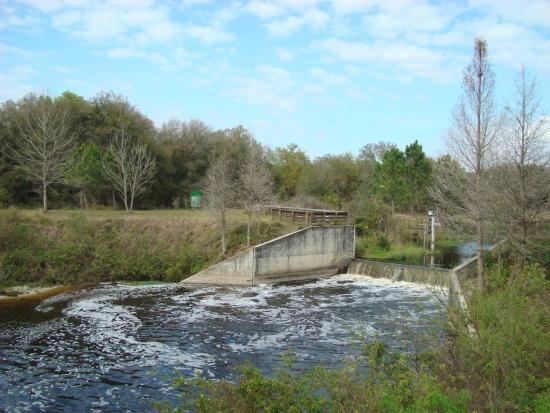
Upper tampa bay trail completed
The Upper Tampa Bay Trail is a 7.25-mile long (11.67 km) paved multi-use, non-motorized, rail trail located in northwest Hillsborough County, Florida.
Contents
- Upper tampa bay trail completed
- Map of Upper Tampa Bay Trail Tampa FL USA
- Upper tampa bay trail biking trail ride w the weekenders
- Trailheads
- References
Map of Upper Tampa Bay Trail, Tampa, FL, USA
The trail currently starts from just off Memorial Highway and heads north along the Channel A canal. It crosses underneath both a Linebaugh Avenue bridge and CSX railroad tracks then wraps around the old Northwest Transfer Station landfill. It then follows an abandoned railroad corridor north along the Veterans Expressway.
The Upper Tampa Bay Trail also has a 4.3 mile section that runs from Van Dyke Road to Lutz Lake Fern Road connecting it to the Sun Coast Trail.
Upper tampa bay trail biking trail ride w the weekenders
Trailheads
References
Upper Tampa Bay Trail Wikipedia(Text) CC BY-SA