
Country United States Area code(s) 304 & 681 Elevation 815 m | Time zone Eastern (EST) (UTC-5) GNIS feature ID 1727223 Local time Sunday 1:52 PM | |
 | ||
Weather 14°C, Wind SE at 5 km/h, 35% Humidity | ||
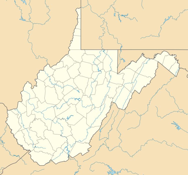
Upper Mingo is an unincorporated community in southern Randolph County, West Virginia, United States. Upper Mingon is located along the Tygart Valley River on U.S. Route 219 and West Virginia Route 55, 17 miles (27 km) south-southwest of Mill Creek.
Map of Upper Mingo, WV 26294, USA
References
Upper Mingo, West Virginia Wikipedia(Text) CC BY-SA