
Length 366.8 km | ||
 | ||
Counties Nicholas County, West Virginia | ||
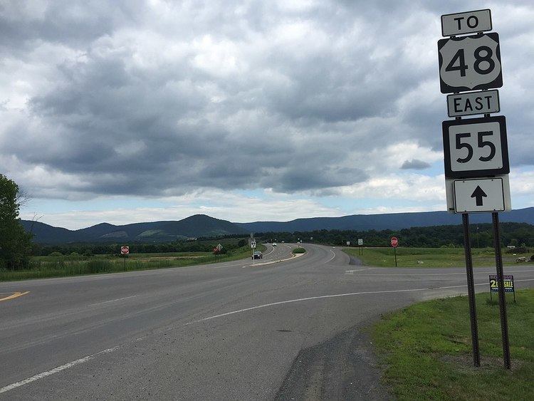
West Virginia Route 55 is a two-laned east–west state highway in West Virginia. The western terminus of the route is at U.S. Route 19 in Muddlety. The eastern terminus is at the Virginia state line six miles (10 km) east of Wardensville, where WV 55 continues as Virginia State Route 55.
Map of WV-55, West Virginia, USA
East of Moorefield, WV 55 crosses the well-known Clifford Hollow Bridge.
References
West Virginia Route 55 Wikipedia(Text) CC BY-SA