
 | ||
Restaurants Red Rooster, Rao's, Amy Ruth's, Ricardo Steak House, Sylvia's Hotels | ||
Columbia university morningside heights neighborhood of upper manhattan new york city
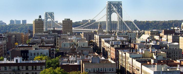
Upper Manhattan denotes the most northern region of the New York City Borough of Manhattan. Its southern boundary has been variously defined, but 96th Street, the northern boundary of Central Park at 110th Street, 125th Street or 155th Street are some common usages.
Contents
- Columbia university morningside heights neighborhood of upper manhattan new york city
- Map of Upper Manhattan New York NY USA
- References
Map of Upper Manhattan, New York, NY, USA
Upper Manhattan is generally taken to include the neighborhoods of Marble Hill, Inwood, Washington Heights (including Fort George, Sherman Creek and Hudson Heights), Harlem (including Sugar Hill, Hamilton Heights and Manhattanville), and parts of the Upper West Side (Morningside Heights and Manhattan Valley).
In the late 19th century, the IRT Ninth Avenue Line and other elevated railroads brought urban sprawl to the previously rustic Upper Manhattan. Until the late 20th century it was less influenced by the gentrification that had taken place in other parts of New York over the previous 30 years.
Like other residential areas, Upper Manhattan is not a major center of tourism in New York City, although some tourist attractions, such as Grant's Tomb, most of Riverside Park, the Apollo Theater, Fort Tryon Park and The Cloisters, Sylvia's Restaurant, the Hamilton Grange, the Morris–Jumel Mansion, Minton's Playhouse, Riverbank State Park, Sakura Park, Sugar Hill, Riverside Church, the National Jazz Museum in Harlem and the Dyckman House lie within it.