
Primary inflows Catchment area 139 km (54 sq mi) Surface area 7.8 km (3.0 sq mi) Area 7.8 km² | Surface elevation 1,720 m Mean depth 32 m | |
 | ||
Type Reservoir, oligotrophic | ||
How to ice fish bull trout upper kananaskis lake
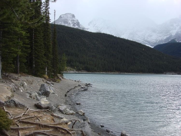
Upper Kananaskis Lake is a natural lake that was turned into a reservoir in Kananaskis Country in Alberta, Canada.
Contents
- How to ice fish bull trout upper kananaskis lake
- Map of Upper Kananaskis Lake Kananaskis AB Canada
- Spring at the upper kananaskis lake peter lougheed provincial park 4k journey alberta
- Hiking trails
- References
Map of Upper Kananaskis Lake, Kananaskis, AB, Canada
Upper Kananaskis Lake, along with the Lower Kananaskis Lake, is located in Peter Lougheed Provincial Park .
The lake is part of a series of natural and man made lakes in the Kananaskis and Bow Valleys used for hydro electric power, flood control, and water reserves for the Bow River water users such as the city of Calgary.
The lake is also used for recreational activities, with hiking paths surrounding the lake (and cross-country skiing trails in the winter).
Spring at the upper kananaskis lake peter lougheed provincial park 4k journey alberta
Hiking trails
References
Upper Kananaskis Lake Wikipedia(Text) CC BY-SA