
OS grid reference TR152507 Sovereign state United Kingdom Local time Sunday 6:28 PM | Civil parish Upper Hardres Area 8.11 km² Dialling code 01227 | |
 | ||
Population 385 (Civil Parish 2011) Weather 13°C, Wind S at 8 km/h, 79% Humidity | ||
Upper Hardres /hɑːrdz/ is a village and civil parish in the City of Canterbury District of Kent, England.
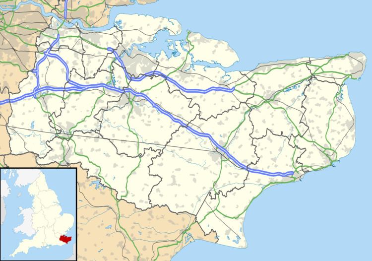
Map of Upper Hardres, UK
The name of the Hardres family is perpetuated in the twin villages of Upper Hardres and Lower Hardres (pronounced 'hards'), on the Roman road, Stone Street, south-west of the city of Canterbury. The family owned this area for 700 years after the Norman Conquest. It is a said that Thomas Hardres, who was knighted for his valour at the Siege of Boulogne in 1544, brought back the town gates and erected them at Upper Hardres, though there is little evidence of their existence today.
References
Upper Hardres Wikipedia(Text) CC BY-SA