
OS grid reference TR150530 Sovereign state United Kingdom Local time Tuesday 6:00 AM | Civil parish Lower Hardres Area 9.14 km² Dialling code 01227 | |
 | ||
Population 570 (Civil Parish 2011) Weather 6°C, Wind SW at 14 km/h, 100% Humidity | ||
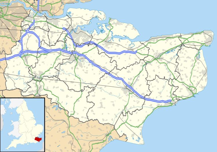
Lower Hardres is a village and civil parish in the City of Canterbury District of Kent, England.
Map of Lower Hardres, Canterbury, UK
The name of the Hardres family is perpetuated in the twin villages of Upper Hardres and Lower Hardres (pronounced 'hards'), on the Roman road, Stone Street, south-west of the city of Canterbury. The family owned the non-church land of area for 700 years after the Norman Conquest.
A legal record in 1381 mentions William Sely, parson of "parva Ardres", & may indicate that a bell at Lower Hardres church was being made or repaired by John Bukyngham. A debt of 45 marks is mentioned.
References
Lower Hardres Wikipedia(Text) CC BY-SA