
OS grid reference TR114584 Local time Sunday 6:28 PM | Sovereign state United Kingdom Postcode district CT2 Dialling code 01227 | |
 | ||
Weather 14°C, Wind S at 8 km/h, 75% Humidity | ||
University of kent canterbury to upper harbledown a2
Upper Harbledown is a village in Harbledown and Rough Common civil parish about 2 miles (3 km) west of Canterbury, Kent, England. The population is roughly 400.
Contents
- University of kent canterbury to upper harbledown a2
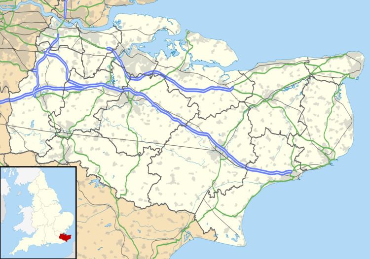
- Map of Upper Harbledown UK
- History
- Amenities
- References
Map of Upper Harbledown, UK
History
The village lies on or very close to the ancient trackway known as Watling Street. This became the main A2 road from London to Canterbury and Dover, which ran through the centre of the village before it was bypassed.
Amenities
The village has a village green, a children's play area, and a village hall. It did have a public house, The Plough, and a garden centre, but these have both closed down.
References
Upper Harbledown Wikipedia(Text) CC BY-SA