Postcode(s) 7315 Postal code 7315 | Local time Monday 3:04 AM | |
 | ||
Location 289 km (180 mi) N of Hobart134 km (83 mi) W of Launceston35 km (22 mi) SW of Devonport24 km (15 mi) S of Ulverstone Weather 6°C, Wind SW at 8 km/h, 84% Humidity Lga Central Coast Council, Tasmania | ||
Upper Castra is a small village outside Ulverstone in Tasmania. It is located in the Central Coast Council municipal area.
Contents
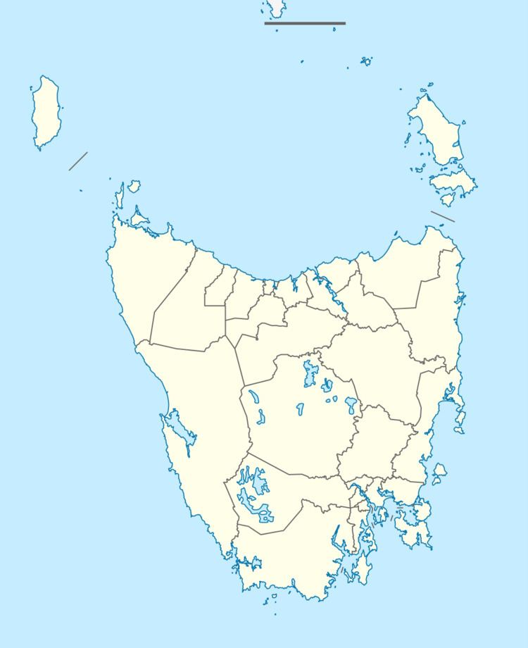
Map of Upper Castra TAS 7315, Australia
Etymology
The word castra is meant as "camp" in this context, and Upper Castra is so named because it is further inland from Castra.
Geography
Upper Castra is connected to the Coast by Castra Road, which goes through the villages of Sprent, Spalford, Abbotsham and connects to Main Road in Ulverstone. It is bounded on the east by the Wilmot River, to the south by Nietta and to the west by Preston and South Preston.
History
Castra Road Upper Post Office opened on 1 June 1890 and closed in 1974.
Education
The two nearest primary schools are at Sprent and Wilmot and the nearest high school is Ulverstone High School. The Don College is the closest public college.
References
Upper Castra Wikipedia(Text) CC BY-SA
