
Country United States Opening date 1959 Opened 1959 Spillway 3 | Status In use Type of dam Concrete gravity Height 95 m Length 366 m | |
 | ||
Similar Lower Baker Dam, Cascade Range, Koma Kulshan Project, Snoqualmie Falls Hydroele, Skagit River Hydroele | ||
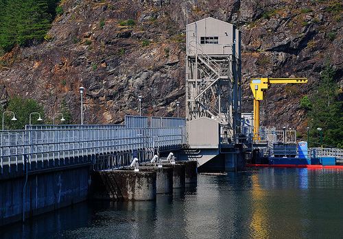
Upper Baker Dam is a dam spanning the Baker River in northern Washington in the United States of America. It is one of two dams on the river, the other one being the Lower Baker Dam a few miles downstream. The dam is used to generate hydroelectricity and provide flood control.
Map of Upper Baker Dam, Concrete, WA 98237, USA
Construction of the dam was finished in 1959 by Puget Sound Energy as part of a power generating scheme, the Baker River Hydroelectric Project. The dam is a concrete gravity structure 312 feet (95 m) high and 1,200 feet (370 m) long, and is capable of producing 91 MW. Its reservoir stretches 9 miles (14 km) upstream and contains 285,000 acre feet (352,000,000 m3) of water.
References
Upper Baker Dam Wikipedia(Text) CC BY-SA