
Time zones EST (UTC-5) Area code(s) 705, 807 | Postal Code FSA P Population 7,031 (2011) | |
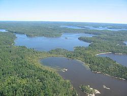 | ||
Unorganized Kenora District is an unorganized area in northwestern Ontario, Canada, in Kenora District. Comprising 98.39 percent of the district's land area, yet only 10.93 percent of its population, it is essentially the remainder of the district's territory after all incorporated cities, municipalities, townships, Indian reserves, and Indian settlements have been excluded. It is by far the largest municipal-equivalent level census division in Ontario, covering over 35 percent of the entire provincial land area, yet only about 0.05 percent of the population of Ontario.
Contents
Map of Kenora, Unorganized, ON, Canada
Local services boards
Demographics
Population trend:
References
Unorganized Kenora District Wikipedia(Text) CC BY-SA