Elevation 110 m Zip code 47712 Population 292 (2010) | GNIS feature ID 453937 Area 72.75 km² Local time Friday 1:10 PM | |
 | ||
Weather 9°C, Wind W at 24 km/h, 81% Humidity | ||
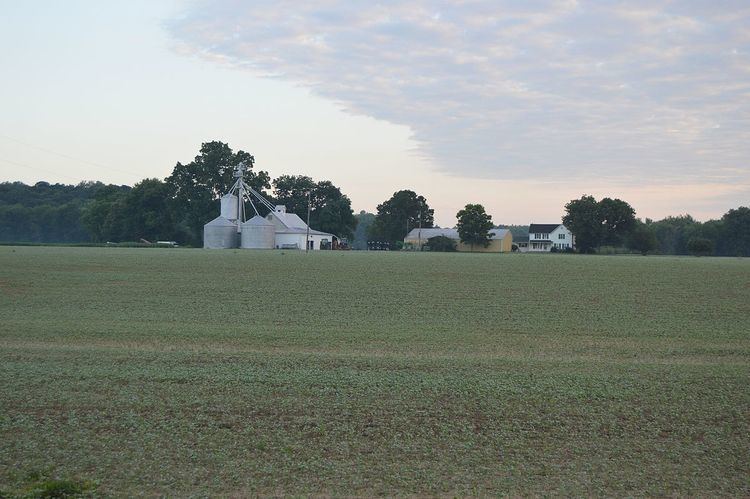
Union Township is the most sparsely populated of the eight townships in Vanderburgh County, Indiana, USA. As of the 2010 census, its population was 292 and it contained 227 housing units. This is largely due to the entire township being located within the Ohio River Floodplain.
Contents
- Map of Union Township IN 47712 USA
- Geography
- Unincorporated towns
- Adjacent townships
- Cemeteries
- Rivers
- School districts
- Political districts
- References
Map of Union Township, IN 47712, USA
Union Township was organized in 1819.
Geography
According to the 2010 census, the township has a total area of 28.09 square miles (72.8 km2), of which 27.54 square miles (71.3 km2) (or 98.04%) is land and 0.55 square miles (1.4 km2) (or 1.96%) is water.
Unincorporated towns
Adjacent townships
Cemeteries
The township contains Stroud Cemetery.
Rivers
School districts
Political districts
References
Union Township, Vanderburgh County, Indiana Wikipedia(Text) CC BY-SA
