
Elevation 255 m Local time Friday 2:09 PM | GNIS feature ID 453933 Area 111.6 km² Population 3,289 (2000) | |
 | ||
ZIP codes 46506, 46536, 46554, 46614 Weather 4°C, Wind N at 21 km/h, 88% Humidity | ||
Union Township is one of thirteen townships in St. Joseph County, in the U.S. state of Indiana. As of the 2000 census, its population was 3,289.
Contents
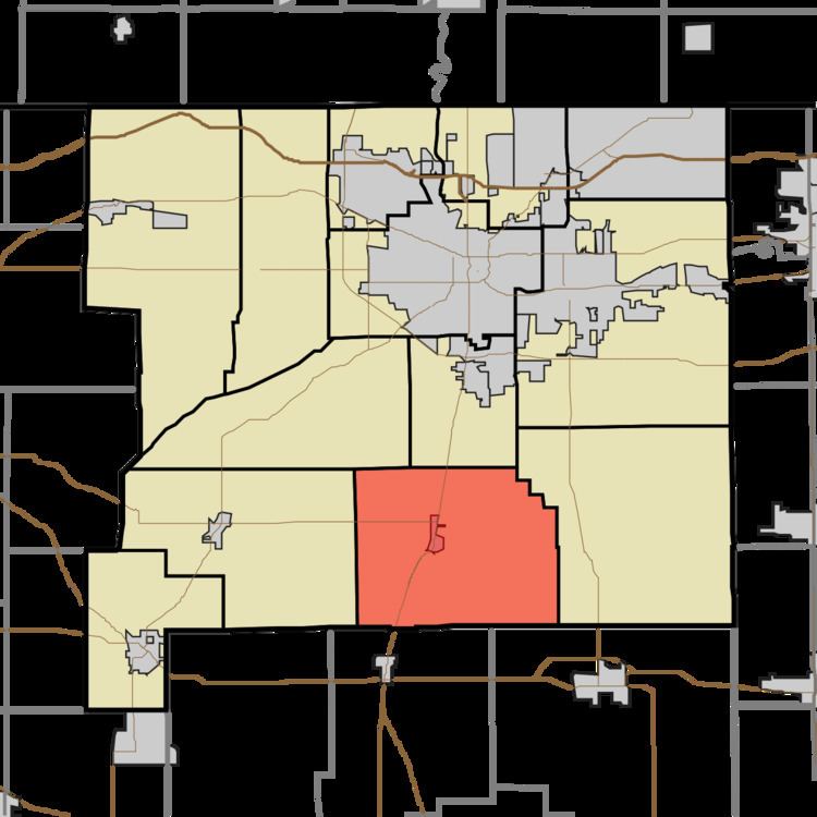
- Map of Union Township IN USA
- Geography
- Cities towns villages
- Unincorporated towns
- Adjacent townships
- Cemeteries
- Major highways
- Lakes
- School districts
- Political districts
- References
Map of Union Township, IN, USA
Geography
According to the United States Census Bureau, Union Township covers an area of 43.1 square miles (112 km2); of this, 42.89 square miles (111.1 km2) (99.52 percent) is land and 0.21 square miles (0.54 km2) (0.48 percent) is water.
Cities, towns, villages
Unincorporated towns
(This list is based on USGS data and may include former settlements.)
Adjacent townships
Cemeteries
The township contains Lakeville Cemetery.
Major highways
Lakes
School districts
Political districts
References
Union Township, St. Joseph County, Indiana Wikipedia(Text) CC BY-SA