
Country United States GNIS feature ID 453560 Area 111.1 km² Population 3,053 (2000) | ZIP codes 46536, 46554, 46574 Elevation 225 m Local time Thursday 10:40 PM | |
 | ||
Weather -2°C, Wind E at 6 km/h, 51% Humidity | ||
Liberty Township is one of thirteen townships in St. Joseph County, in the U.S. state of Indiana. As of the 2000 census, its population was 3,053.
Contents
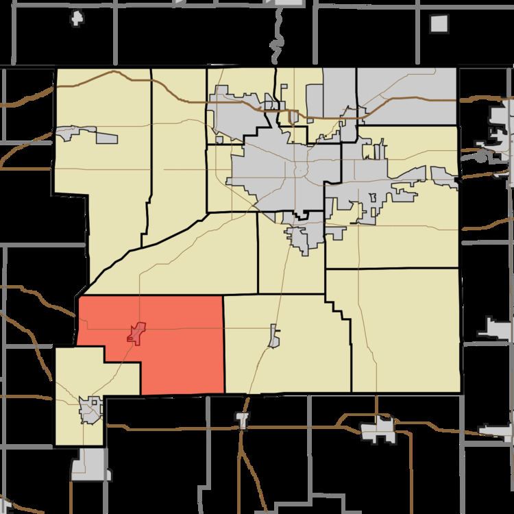
- Map of Liberty Township IN USA
- Geography
- Cities towns villages
- Adjacent townships
- Cemeteries
- Major highways
- Lakes
- School districts
- Political districts
- References
Map of Liberty Township, IN, USA
Geography
According to the United States Census Bureau, Liberty Township covers an area of 42.88 square miles (111.1 km2); of this, 42.45 square miles (109.9 km2) (98.99 percent) is land and 0.43 square miles (1.1 km2) (1.01 percent) is water.
Cities, towns, villages
Adjacent townships
Cemeteries
The township contains these four cemeteries: Fair, Old, Porter and Westlawn.
Major highways
Lakes
School districts
Political districts
References
Liberty Township, St. Joseph County, Indiana Wikipedia(Text) CC BY-SA