
Country United States GNIS feature ID 0453925 Area 56.51 km² Population 857 (2010) | ZIP codes 46921, 46926, 46951 Elevation 246 m Local time Friday 2:06 PM | |
 | ||
Weather 6°C, Wind NW at 18 km/h, 97% Humidity | ||
Union Township is one of fourteen townships in Miami County, Indiana, United States. As of the 2010 census, its population was 857 and it contained 363 housing units.
Contents
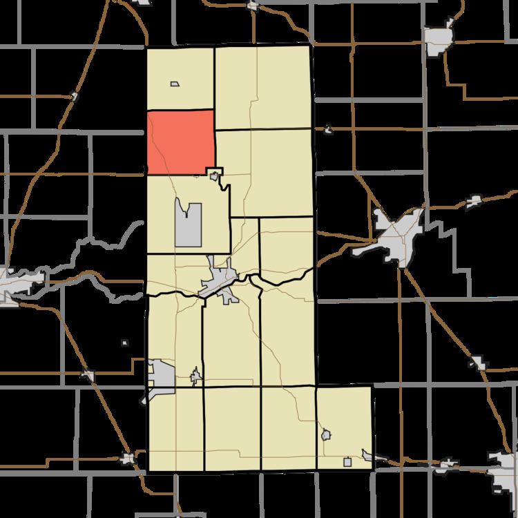
- Map of Union Township IN USA
- History
- Geography
- Unincorporated towns
- Cemeteries
- Major highways
- School districts
- Political districts
- References
Map of Union Township, IN, USA
History
Union Township was first settled in the spring of 1835. Union Township was organized in 1837.
Geography
According to the 2010 census, the township has a total area of 21.82 square miles (56.5 km2), of which 21.73 square miles (56.3 km2) (or 99.59%) is land and 0.08 square miles (0.21 km2) (or 0.37%) is water.
Unincorporated towns
Cemeteries
The township contains these four cemeteries: Ebenezer, Independent Order of Odd Fellows, Mount Zion and Weasaw.
Major highways
School districts
Political districts
References
Union Township, Miami County, Indiana Wikipedia(Text) CC BY-SA