
GNIS feature ID 0453924 Area 113.8 km² Population 3,088 (2010) | ZIP codes 46511, 46563 Elevation 235 m Local time Friday 2:06 PM | |
 | ||
Weather 5°C, Wind NW at 21 km/h, 80% Humidity Clubs and Teams Culver Eagles Junior Varisty, Culver Eagles Varsity B | ||
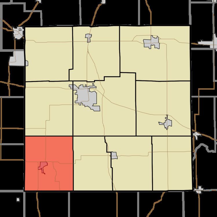
Union Township is one of ten townships in Marshall County, Indiana, United States. As of the 2010 census, its population was 3,088 and it contained 1,938 housing units.
Contents
- Map of Union Township IN USA
- History
- Geography
- Cities towns villages
- Unincorporated towns
- Cemeteries
- Airports and landing strips
- Lakes
- Major highways
- School districts
- Political districts
- References
Map of Union Township, IN, USA
History
Union Township was organized in 1840. It was likely named after Union County, Indiana, the former home of some of the early settlers.
The East Shore Historic District and Norris Farm-Maxinkuckee Orchard are listed on the National Register of Historic Places. Woodbank was delisted in 2014.
Geography
According to the 2010 census, the township has a total area of 43.95 square miles (113.8 km2), of which 40.8 square miles (106 km2) (or 92.83%) is land and 3.16 square miles (8.2 km2) (or 7.19%) is water.
Cities, towns, villages
Unincorporated towns
(This list is based on USGS data and may include former settlements.)
Cemeteries
The township contains these five cemeteries: Burr Oak, Cromley, Masonic, Washington and Zion.