
Country United States Named for The Union Zip code 47648 Population 4,245 (2014) | Elevation 139 m Local time Friday 1:01 PM | |
 | ||
Weather 9°C, Wind W at 24 km/h, 80% Humidity | ||
Union Township is one of ten townships in Gibson County, Indiana. As of the 2010 census, its population was 4,197 and it contained 1,779 housing units, 90% of which live in areas adjacent to Fort Branch. Fort Branch is the township seat. Nearly all of the Toyota Motor Manufacturing Indiana Complex is located within Union Township.
Contents
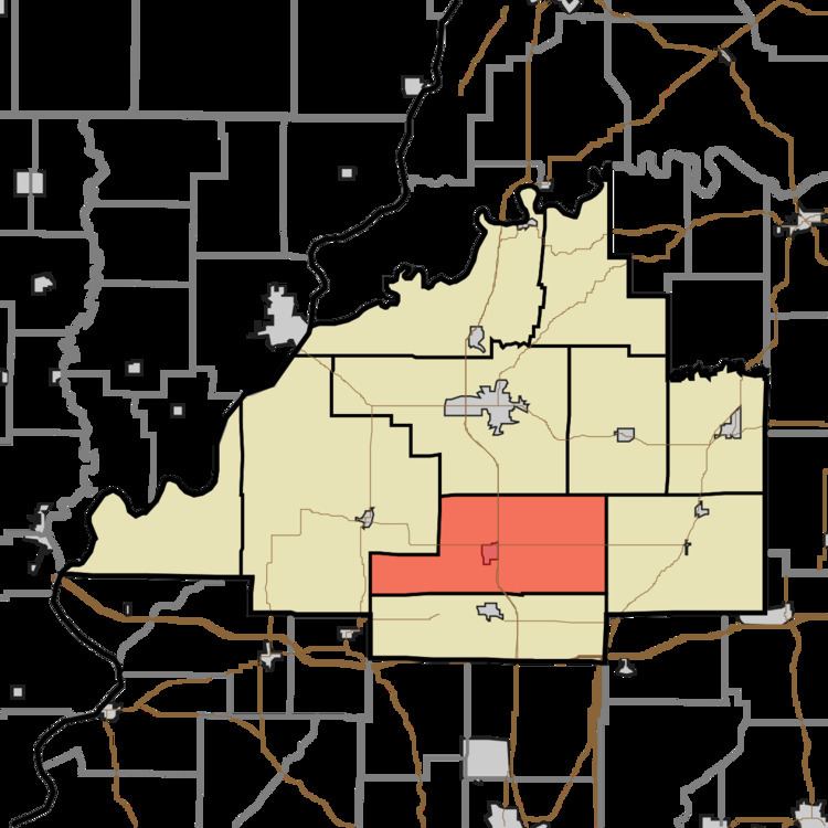
- Map of Union Township IN USA
- Geography
- Cities and towns
- Unincorporated towns
- Adjacent townships
- Cemeteries
- Major highways
- Education
- Public schools
- Higher Education
- Private schools
- References
Map of Union Township, IN, USA
Union Township was established in 1890.
Geography
According to the 2010 census, the township has a total area of 50.43 square miles (130.6 km2), of which 50.31 square miles (130.3 km2) (or 99.76%) is land and 0.12 square miles (0.31 km2) (or 0.24%) is water.
Cities and towns
Unincorporated towns
Adjacent townships
Cemeteries
The township contains three cemeteries: Durham, Mount Mariah and Walnut Hill.
Major highways
Education
Union Township is the center of the South Gibson School Corporation.
Public schools
Higher Education
Private schools
References
Union Township, Gibson County, Indiana Wikipedia(Text) CC BY-SA