
Country United States ZIP codes 47670 47671 Population 11,880 (2014) | Time zone CST (UTC-6) Elevation 136 m Local time Friday 9:07 AM | |
 | ||
Area code(s) 812 - 385 / 386 / 387 / 388 / 724 / 779 Weather 18°C, Wind S at 23 km/h, 69% Humidity Area 178.5 km² (177.4 km² Land / 111 ha Water) | ||
Patoka Township is one of ten townships in Gibson County, Indiana, United States. As of the 2010 census, its population was 11,864 and it contained 5,341 housing units.
Contents
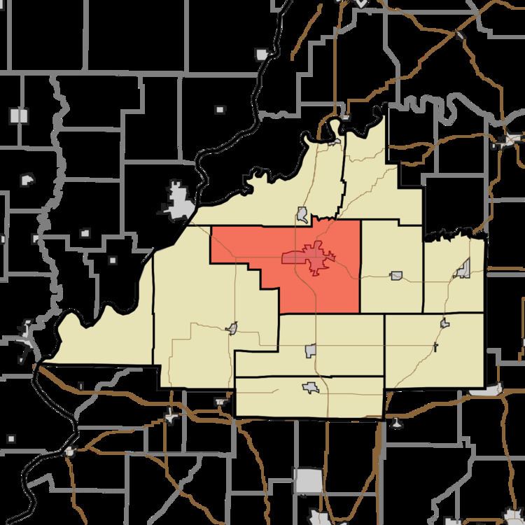
- Map of Patoka Township IN USA
- History
- Geography
- Cities and towns
- Unincorporated towns
- Adjacent townships
- Cemeteries
- Major highways
- Education
- Public Schools
- Private Schools
- Higher Education
- Museums
- References
Map of Patoka Township, IN, USA
History
Patoka Township was organized in 1813. It took its name from the Patoka River.
The Lyles Consolidated School was listed on the National Register of Historic Places in 1999.
Geography
According to the 2010 census, the township has a total area of 68.92 square miles (178.5 km2), of which 68.49 square miles (177.4 km2) (or 99.38%) is land and 0.43 square miles (1.1 km2) (or 0.62%) is water.
Cities and towns
Unincorporated towns
(This list is based on USGS data and may include former settlements.)
Adjacent townships
Cemeteries
The township contains seven cemeteries: Archer, Hitch, Maple Hill, Odd Fellows, Saint Josephs, Sand Hill and Warnock.
Major highways
Education
Public education in Patoka Township is administered by the North Gibson School Corporation.