
Elevation 231 m Local time Friday 12:59 PM | GNIS feature ID 0468817 Area 94.69 km² Population 305 (2000) | |
 | ||
Weather 6°C, Wind N at 16 km/h, 83% Humidity | ||
Union Township is a township in Davis County, Iowa, USA. As of the 2000 census, its population was 305.
Contents
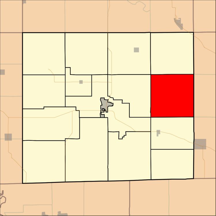
- Map of Union IA USA
- History
- Geography
- Unincorporated towns
- Adjacent townships
- Cemeteries
- Airports and landing strips
- References
Map of Union, IA, USA
History
Union Township was organized in 1846.
Geography
Union Township covers an area of 36.56 square miles (94.69 square kilometers); of this, 0.04 square miles (0.09 square kilometers) or 0.1 percent is water. The streams of Burr Oak Creek, Hickory Creek, Locke Branch and South Chequest Creek run through this township.
Unincorporated towns
(This list is based on USGS data and may include former settlements.)
Adjacent townships
Cemeteries
The township contains seven cemeteries: Arney, Clark, Cupp Grave, Fountain, Richardson, Rouch and Troy.
Airports and landing strips
References
Union Township, Davis County, Iowa Wikipedia(Text) CC BY-SA