
Elevation 201 m Local time Friday 1:30 AM | GNIS feature ID 0468233 Area 92.14 km² Population 847 (2000) | |
 | ||
Weather 8°C, Wind SE at 21 km/h, 55% Humidity | ||
Lick Creek Township is a township in Davis County, Iowa, USA. As of the 2000 census, its population was 847.
Contents
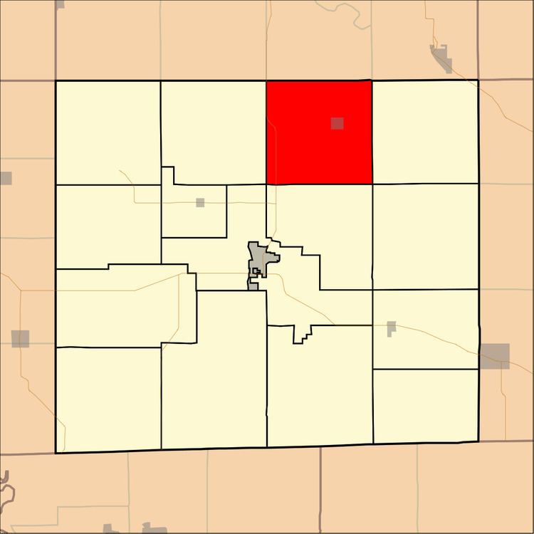
- Map of Lick Creek IA USA
- History
- Geography
- Cities and towns
- Unincorporated towns
- Adjacent townships
- Cemeteries
- Major highways
- References
Map of Lick Creek, IA, USA
History
Lick Creek Township was organized in 1846. It took its name from Lick Creek.
Geography
Lick Creek Township covers an area of 35.58 square miles (92.14 square kilometers); of this, 0.03 square miles (0.08 square kilometers) or 0.09 percent is water. The streams of Lick Creek, Little Soap Creek, Morgan Branch and North Chequest Creek run through this township.
Cities and towns
Unincorporated towns
(This list is based on USGS data and may include former settlements.)
Adjacent townships
Cemeteries
The township contains nine cemeteries: Dunnville, Fiedler, Jay, McCormick, Odd Fellows, Parrott, Spence, Swinney and Wilson.
Major highways
References
Lick Creek Township, Davis County, Iowa Wikipedia(Text) CC BY-SA