
ZIP codes 52133, 52135, 52162 Elevation 316 m Local time Monday 9:17 PM | Time zone CST (UTC-6) GNIS feature ID 0467622 Area 94.11 km² Population 894 (2010) | |
 | ||
Weather 12°C, Wind S at 31 km/h, 95% Humidity | ||
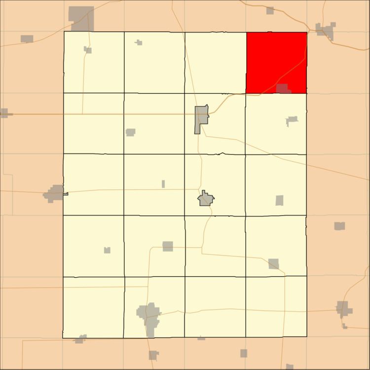
Clermont Township is one of twenty townships in Fayette County, Iowa, USA. As of the 2010 census, its population was 894.
Contents
- Map of Clermont IA USA
- Geography
- Cities towns villages
- Adjacent townships
- Cemeteries
- Major highways
- Airports and landing strips
- School districts
- Political districts
- References
Map of Clermont, IA, USA
Geography
According to the United States Census Bureau, Clermont Township covers an area of 36.34 square miles (94.11 square kilometers).
Cities, towns, villages
Adjacent townships
Cemeteries
The township contains Saint Peters Cemetery.
Major highways
Airports and landing strips
School districts
Political districts
References
Clermont Township, Fayette County, Iowa Wikipedia(Text) CC BY-SA