
Elevation 40 m | Area 40 ha | |
 | ||
Time zone Myanmar Standard Time (UTC+6:30) | ||
Unguan is a small island off the coast of Rakhine State, Burma.
Contents
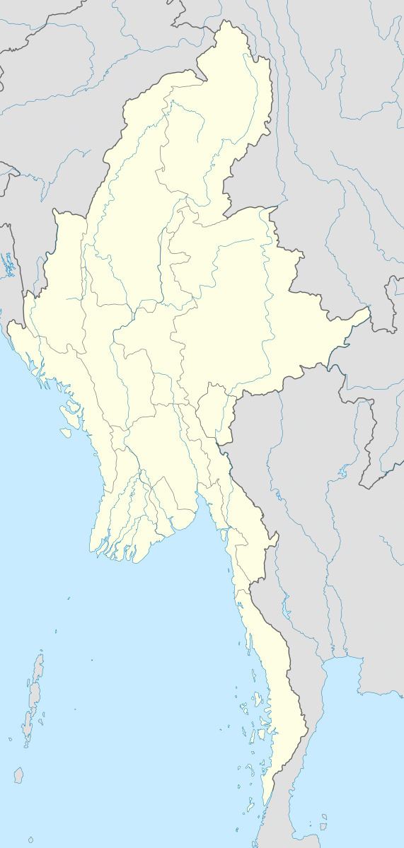
Map of Unguan Island, Myanmar (Burma)
Geography
The island is 1 kilometre (0.62 miles) long and 0.4 kilometres (0.2 miles) wide. It is located 33 kilometres (21 miles) to the southeast of Cheduba's southern end. It rises to a height of 40 metres (130 feet) and is densely wooded.
Nearby islands
References
Unguan Wikipedia(Text) CC BY-SA