
OS grid reference TQ5552 Post town SEVENOAKS Local time Friday 12:29 PM | Sovereign state United Kingdom Postcode district TN15 Dialling code 01732 | |
 | ||
Weather 13°C, Wind SW at 21 km/h, 77% Humidity | ||
Underriver is a small quiet village about 3 miles (5 km) South-East of Sevenoaks, Kent. It is in the civil parish of Seal
Contents
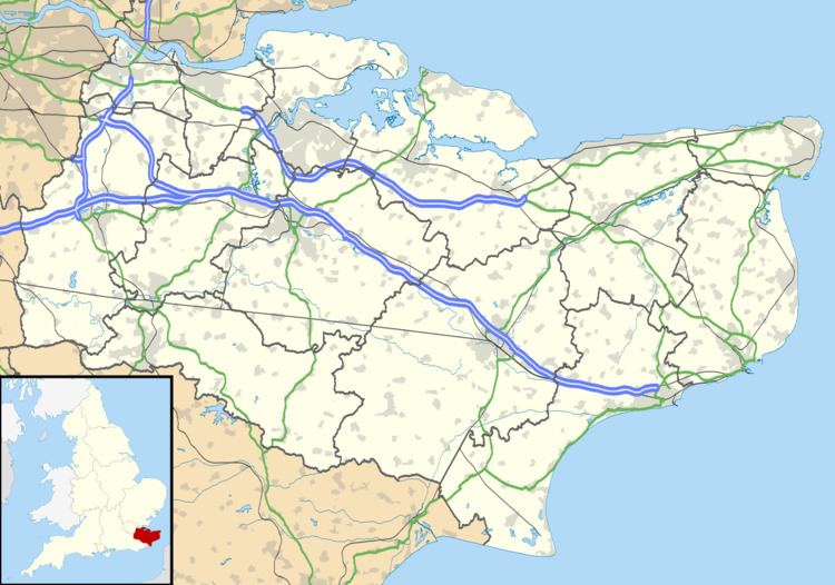
Map of Underriver, Sevenoaks, UK
The name "Underriver" is derived from the Old English sub le ryver which translates into modern English as "under the hill".
Until the early 20th century, Underriver had its own school, forge, post office, pub and church. Today only the pub (The White Rock) and the church (St Margaret's) remain. The other buildings have since been converted into housing.
Aircraft accident
On 22 August 1927, a Fokker F.VIII of KLM crashed at Underriver following structural failure of the tailfin, killing one of the eleven people on board.
References
Underriver Wikipedia(Text) CC BY-SA