
Length 114 km | Country United States of America | |
 | ||
Sources Bridgewater, Unadilla Lake | ||
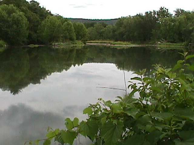
Unadilla river kayak 07252015
The Unadilla River in New York State flows 71 miles (114 km) from south of Utica to the village of Sidney, where it flows into the Susquehanna River, which eventually empties into the Chesapeake Bay, an arm of the Atlantic Ocean.
Contents
- Unadilla river kayak 07252015
- Map of Unadilla River New York USA
- Unadilla river march 2013
- BranchesEdit
- TributariesEdit
- Alternate names and spellingsEdit
- References
Map of Unadilla River, New York, USA
Most of the length of the Unadilla forms the western border of Otsego County and the eastern borders of Chenango and Madison counties, all in New York. This border made up a significant portion of the Fort Stanwix Treaty Line of 1768. It was meant to establish the border for an Indian reserve, beyond which European-American settlers were not supposed to go. Settlers resented British efforts to control their movements, and continued to encroach on Native American territories.
Unadilla river march 2013
BranchesEdit
The Unadilla has two branches which join at Unadilla Forks on the Otsego-Madison County border.
TributariesEdit
The Unadilla's tributaries, from north to south, include:
Alternate names and spellingsEdit
Unadilla has had various spellings and alternate names, particularly in the 18th century: