
Time zone SAST (UTC+2) Area 3,250 km² Black african population 99.5% Native zulu speakers 95.9% | Wards 24 Municipal code KZN266 White population 0.2% Native english speakers 1.3% | |
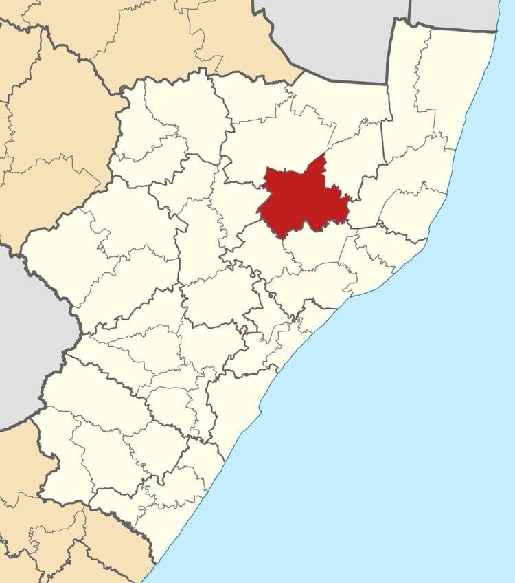 | ||
Ulundi Local Municipality is a local municipality located on the southern boundary of the Zululand District Municipality in northeastern KwaZulu-Natal, South Africa. It is a mainly rural municipality that encompasses the town of Ulundi.
Contents
Map of Ulundi, South Africa
Population characteristics
Recent surveys have identified the following characteristics of the municipality's population:
More than half the population is younger than 19 years of age, placing pressure on the need for social facilities. A significant number of these children will be orphaned due to HIV/AIDS.
At least 12% of the population (27 450 people) are already infected with HIV/AIDS. Population growth is expected to decline over the next 20 years.
Education levels are very low; 29% of the population has no formal education.
Income levels are very low; nearly 40% of households have no income. Unemployment levels are very high, with only 12.5% of the total population being formally employed.
The population is predominantly Zulu in ethnicity and culture.
Places of interest
The tourism potential of the area remains largely undeveloped; however, the area features a number of activities and places of interest. These include game reserves, historical/cultural sites, cultural events and guest lodges. Game reserves include the Hluhluwe-Umfolozi Parks, the Ophathe Game Park, the Emakhosini (Valley of the Zulu Kings), the planned Emakhosini-Ophathe Conservancy, and the ThakaZulu Game Reserve. Historical/cultural sites include Nodwengu (King Mpande’s residence and grave), Ulundi Battlefield, Amafa and Dingaan Stat/Piet Retief’s grave.
Main places
The 2001 census divided the municipality into the following main places:
Politics
The municipal council consists of forty-seven members elected by mixed-member proportional representation. Twenty-four councillors are elected by first-past-the-post voting in twenty-four wards, while the remaining twenty-three are chosen from party lists so that the total number of party representatives is proportional to the number of votes received. In the election of 3 August 2016 the Inkatha Freedom Party (IFP) won a majority of thirty-five seats on the council. The following table shows the results of the election.